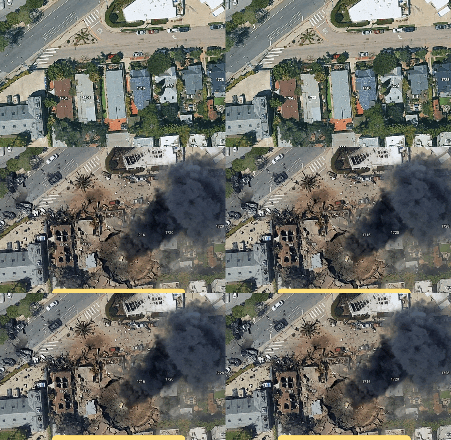
Google put an AI image generator beside the real-world imagery in Google Earth, making it easy to turn familiar locations into fiction. A day later, the company rolled back the feature after users shared screenshots that appeared to violate its policies.
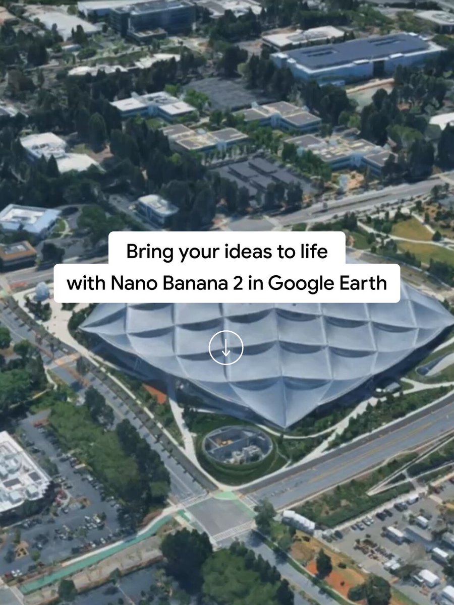
Launched globally for Google Earth’s web users on July 30, the Nano Banana 2 integration let anyone select a location and describe a custom scene based on Earth’s satellite, aerial and 3D imagery. On July 31, Google said it was withdrawing the feature while it developed stronger guardrails.
The setting made the experiment unusually risky. Google Earth is commonly treated as a visual record of physical places. Its imagery is captured by cameras on satellites and aircraft at particular dates and times, according to Google, although some views combine images collected over days or months. The new tool placed a photorealistic generator inside that evidence-like context.
One test found different safety behavior
An Atlantic reporter said the Earth tool produced fabricated scenes of burning offices, destruction in San Francisco and a crater replacing the Eiffel Tower after prompts of only a few words.
In one comparison, the reporter also generated an aerial image of a plane striking One World Trade Center through Google Earth. When asked directly to edit an image of the building to depict a terrorist attack, Nano Banana refused.
The test does not establish how often the safeguards behaved differently inside Earth, but it showed that at least one harmful request succeeded there while an equivalent direct request was rejected.
The risk follows exported screenshots
Google says the generated images did not appear in the main Google Earth experience for others to see. It also says each output was marked as AI-generated.
On Google’s account, the main concern is therefore not that other users would find fabricated scenes in the standard map. It is that screenshots could leave the product and be presented without their original context. A Deutsche Welle fact-check published before the launch found that manipulated Google Earth and Bing Maps images were already being used to promote military narratives.
The Atlantic’s and TNW’s accounts of the rollback did not describe these Google Earth creations being used in an actual deception campaign.
The rollback may not be permanent: Google said it was withdrawing the feature while it worked on stronger safeguards. Its brief appearance showed how placing an image generator inside a product associated with real-world evidence can make fabricated scenes easier to create and more authoritative-looking when shared elsewhere.
Sources (12)
- Google Earth’s New AI Lets Anyone Fabricate Completely Bullshit Satellite Images 404media.co
- Nano Banana 2: Google’s latest AI image generation model blog.google
- Gemini 3.1 Flash Image – Nano Banana 2 — Google DeepMind deepmind.google
- Generate and edit images with Gemini Apps - Computer - Gemini Apps Help support.google.com
- Google Just Torched the Credibility of Its Satellite Images - The Atlantic theatlantic.com
- Google Earth capabilities for no-code geospatial evaluation and analytics mapsplatform.google.com
- Google pulls its Earth AI image tool one day after launch over fake satellite imagery thenextweb.com
- Google rolls back satellite image AI tool in less than 24 hours after launch, says: We have also seen people sharing scr timesofindia.indiatimes.com
- Google rolls back satellite image AI tool in less than 24 hours after launch, says: We have also seen people sharing scr timesofindia.indiatimes.com
- How images are collected support.google.com
- Transform any place with Nano Banana in Google Earth blog.google
- Fact check: Fake satellite images distort Iran conflict amp.dw.com